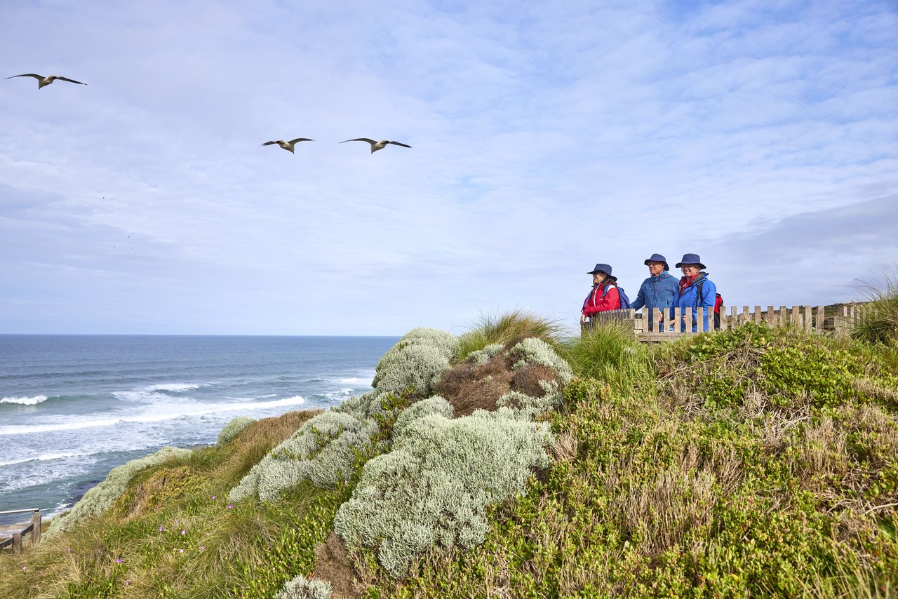

Nothing says Aussie summer like a holiday to the beach. Port Fairy is the place to take a dip in the bay or hang five on the local breaks, build sandcastles and explore the urchins and crabs in rock pools.
Port Fairy is set on a 5.8 km long beach, extending in a broad, curving arc from Reef Point in the east, where it faces south, to the North Mole or harbour entrance wall in the south, where it faces east. West of Griffiths Island, the beaches continue, extending 2km past the caravan park.
Read about all of Port Fairy beaches from west to east, including general hazard ratings as indicated below.
Least hazardous: 1-3
Moderately hazardous: 4-6
Highly hazardous: 7-8
Extremely hazardous: 9-10
For more information, current conditions and patrol dates, visit the Beach Safe website: beachsafe.org.au


General Beach Hazard Rating: 3
On the south side of Port Fairy, Ocean Drive runs past the caravan park and west along the shore for 2 km. There are three car parks along the road that give direct access to the shore. The shore is fringed by continuous basalt reefs lying 100 to 200 m offshore.In lee of the reef are two beaches, both bordered by low, basalt rocks. The first is South or Pea Soup Beach. It is a 500 m long, south facing beach. It adjoins a smaller, 200 m long beach that is backed by scarped dunes and, in places, a protective basalt seawall. The reefs completely protect the wide, low beaches at low tide. Shallow lagoons lie between the beaches and the reefs. At high tide, small waves reach the beaches and wash over continuous, shallow bars with no rips.
Swimming
Both beaches are relatively safe, particularly at low tide. However at high tide, be careful of the submerged rocks and holes.
Surfing
None at the beach. However, at the eastern end of Pea Soup is a short, right hand point break called The Passage, which lies right in front of the car park. Off the second beach are two reef breaks: a left called Garbos and a right called Gooloos.
Fishing
The Back Passage is good at high tide, while the beaches and inner rocks are generally too shallow at low tide.
General
Two very accessible and relatively safe beaches.


General Beach Hazard Rating: 5
Port Fairy sits on a 5.8 km stretch of beach. East Beach, were the Port Fairy Surf Life Saving Club patrols during the warmer months, is located on the foredune 1 km north of the north entrance wall. The beach is composed of fine, white sand and receives waves that average 1 m high and 150 m wide over two sand bars. The inner bar is cut by rips every 250 m, while the outer bar has more widely spaced rips. Further up the beach, the waves and rips intensify.
Swimming
Summer conditions are moderately safe, when waves tend to be lower and rips less frequent and intense. However, always bathe in the patrolled area between the flags, and avoid the northern end of the beach where rips can be very intense. Be careful if on a bodyboard or surfboard as westerly winds will blow you out to sea.
Surfing
There are numerous beach breaks in the wide, shallow surf zone, with shape depending on waves, bars and wind. A popular spot called Oigles, just south of the surf club, works in a big swell, as it breaks over an old shipwreck.
Fishing
Port Fairy usually has a wide and shallow surf, so look for rip holes and gutters north of the surf club. There is also good fishing off the harbour walls, into either the river or ocean.
General
Port Fairy is a very popular summer holiday destination offering all facilities. It has a moderately safe patrolled beach at the southern end, with a more energetic beach toward the north.


General Beach Hazard Rating: 3
South Mole Beach has formed during the past century, since the construction of the harbour moles or entrance walls at the mouth of the Moyne River. The beach lies on the north side of Griffiths Island, between the low dune calcarenite that forms the island and the wall. It can be reached on foot from the car park via a footbridge to the island. The beach is 200 m long and faces north-east. It is protected by the island and waves average about 0.5 m at the beach. This results in a low, continuous bar and usually no rips.
Swimming
A relatively safe beach with usually low waves and a shallow bar.
Surfing
Usually a very low beach break.
Fishing
The harbour moles or breakwaters are the most popular spit to fish the channel.
General
A nice beach backed by low marram cover dunes, with protection for waves and westerly winds.


Sign up to get the latest deals, tours & events along the Great Ocean Road
Great Ocean Road Regional Tourism acknowledges the Traditional Custodians of the Great Ocean Road region the Wadawurrung, Eastern Maar & Gunditjmara. We pay our respects to their Elders, past, present and emerging. We recognise and respect their unique cultural heritage and the connection to their traditional lands. We commit to building genuine and lasting partnerships that recognise, embrace and support the spirit of reconciliation, working towards self-determination, equity of outcomes and an equal voice for Australia’s first people.